Hiking the
Continental Divide Trail
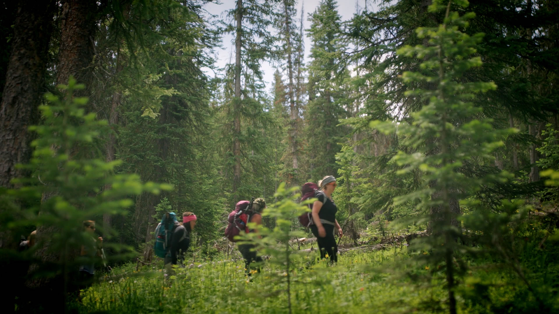
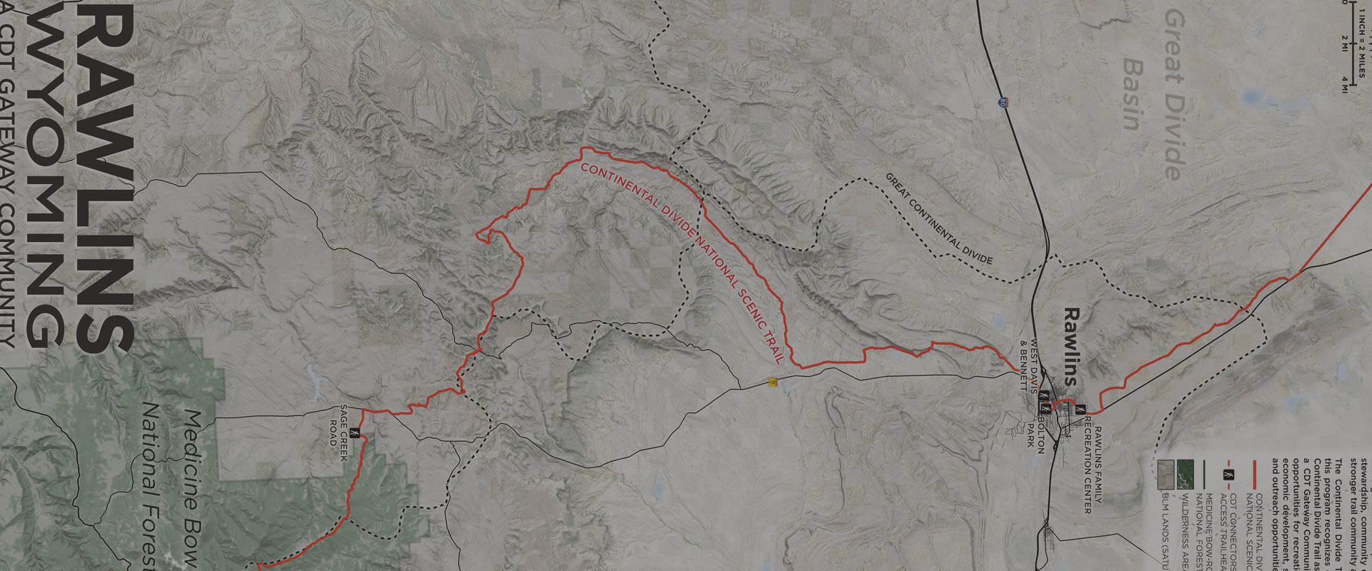
Continental Divide Trail
Rawlins sits at the southeastern edge of the Great Divide Basin, a unique expanse of high desert where the Continental Divide splits in two. While it may appear desolate, the Basin is in fact an extraordinary desert ecosystem teeming with wildlife and diverse flora, and is home to wild horses, sand dunes, archeological relics, and the world’s largest herd of desert elk. The area has supported humans for at least 12,000 years, and by the time European settlers arrived 200 years ago, nomadic Plains tribes like the Ute, Crow, Arapaho, Cheyenne, Lakota, and, most predominantly, the Shoshone traversed the area.
Rawlins’ beginnings, like those of many western towns, are closely tied to the railroad. While surveying for the transcontinental railroad’s route with a Union Pacific Railroad survey crew in 1867, Army General John Rawlins became thirsty. A spring was found nearby. Gen. Rawlins thought the water from the spring was particularly refreshing, and said, “If anything is ever named after me, I hope it will be a spring of water.” A small community, initially known as Rawlins’ Spring, arose around the railroad and eventually became known as Rawlins.
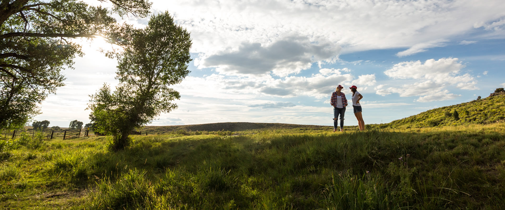
The Continental Divide Trail passes right through Rawlins. Visitors will discover a unique, friendly city that’s home to a nationally-recognized downtown, where rich and colorful Old West history intersects with a modern, multicultural community.
More information on hiking the CDT around Rawlins can be found on the link below to the CDTC website.
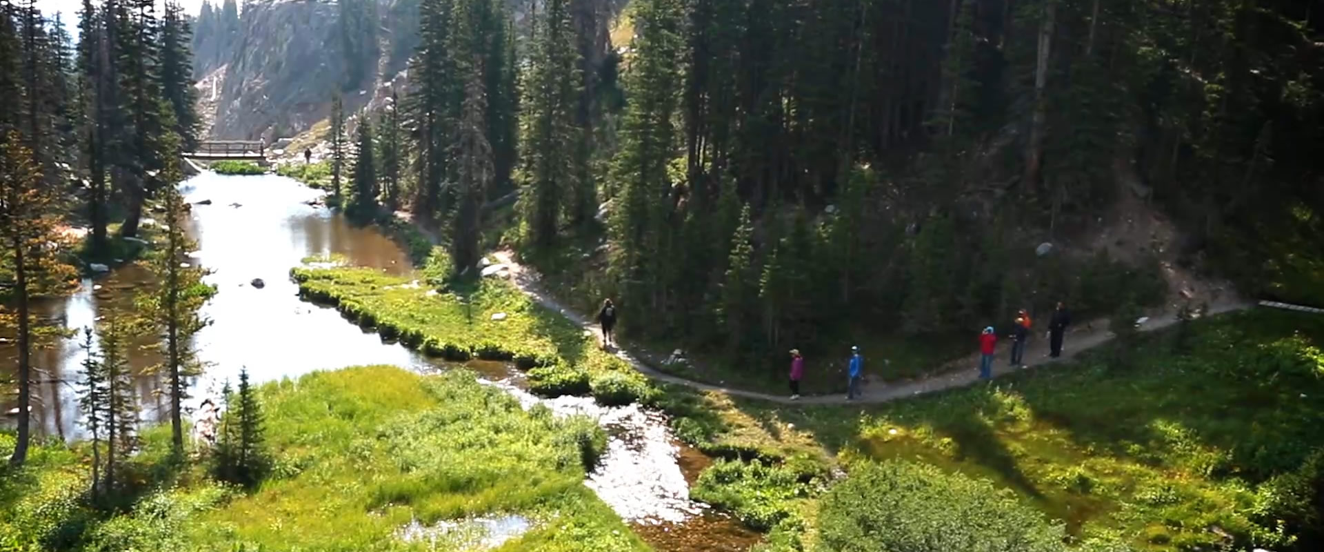
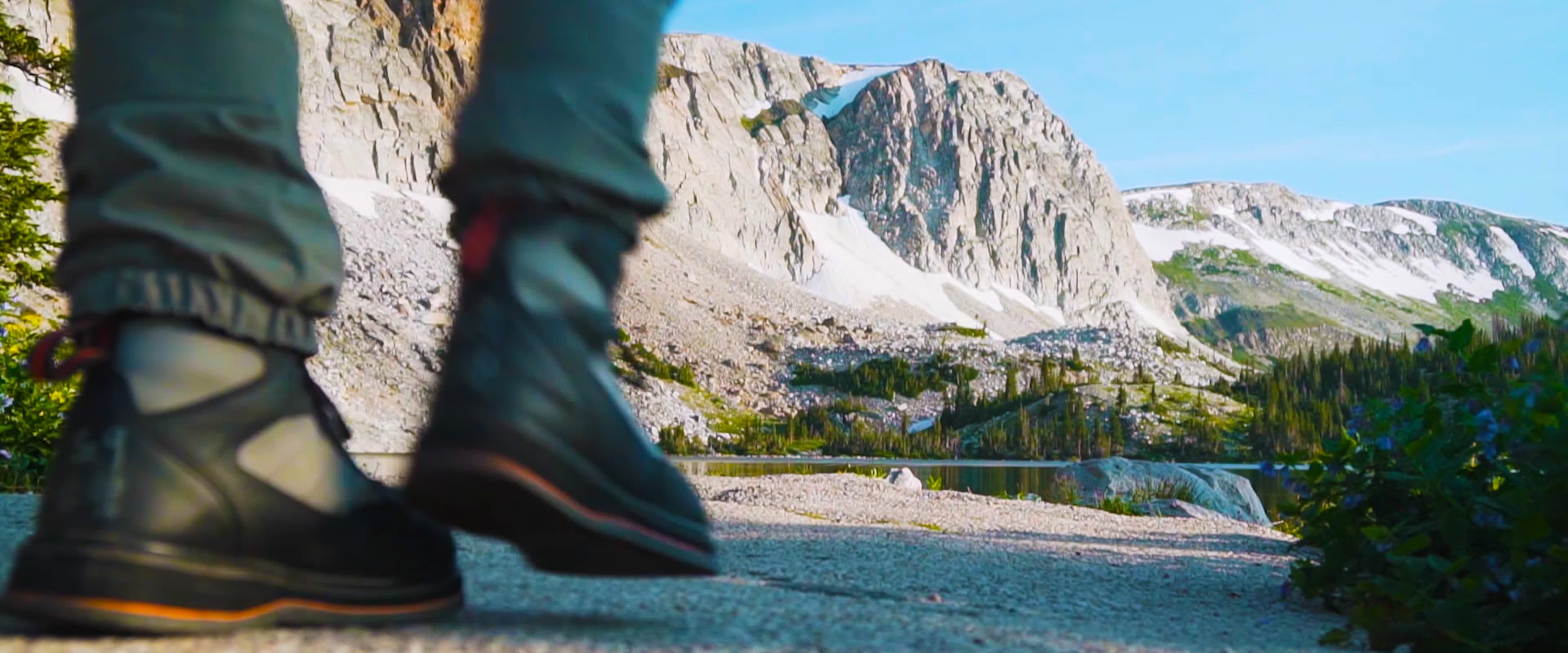
The small towns of Encampment and Riverside, Wyoming, rest at the base of the Sierra Madre Mountains, and are the gateway to the Medicine Bow National Forest. Near Encampment and Riverside, approximately 45 miles of the CDNST pass through relatively undisturbed areas of the forest, climbing above 10,000 ft., and offering some of the best views in southern Wyoming.
Encampment was first named “Grand Encampment” in 1838 by fur trappers for their mountain trading fair (or Rendezvous) which occurred by the river. Copper was later discovered in the Sierra Madres, and both towns boomed at the turn of the century. Riverside, formerly known as “Doggett,” was established as the ranching headquarters of the area in 1897, and became a town in 1902.
With their small town charm, friendliness, and beautiful views, Encampment and Riverside also offer amenities, including restaurants, overnight camping, showers, rental cabins, a post office, water, snacks, and sporting goods. While you are relaxing in the area, be sure to visit the Grand Encampment Museum, the “GEM” of Southern Wyoming.
More information on hiking the CDT around Encampment and Riverside can be found on the link below to the CDTC website.

Directions from Carbon County Visitors Council (508 W Cedar St.):
1. Head east on W Cedar St toward 5th St
2. Continue onto I-80BL
3. Use the left lane to take the ramp onto I-80 E
4. Stay on I-80 E for about 19 miles
5. Take exit 235 for US-30 E/US-287 S/WY-130 toward Walcott/Saratoga
6. Turn right onto WY-130 E
7. Stay on WY-130 for about 30 miles
8. Continue straight, the road changes to WY-230 E
9. Stay on WY-230 E for about 10 miles
10. Continue straight onto WY-70 W
11. Turn right onto 6th St.
12. Turn left onto WY-70 W/Mac Farlane Ave
13. Drive for about 12 miles, the parking area will be on your right
Parts of this route may be closed in the winter
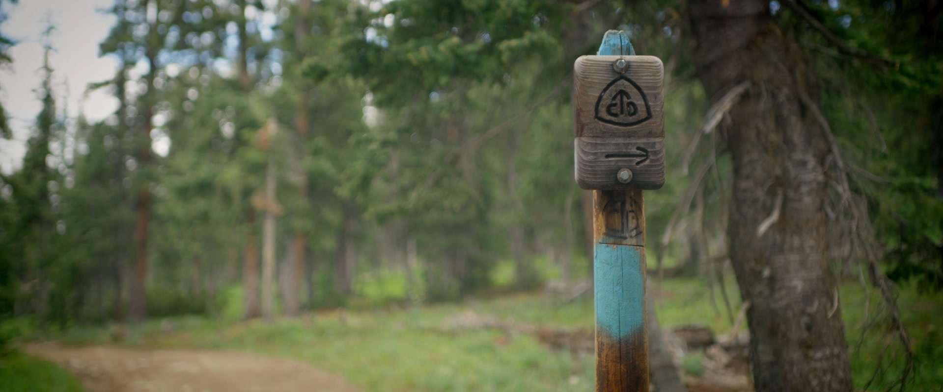
Description: This hike takes you to the summit of Bridger Peak, the highest peak on the Wyoming side of the Sierra Madre range, featuring expansive views of this remote wilderness area. From the parking lot, follow a 4-wheel drive road (FR 412) marked with Continental Divide signs. The CDT splits off from the road at various points, and hikers can opt to follow either the road or the official CDT route until the summit, where there are remains of an old fire lookout and a ramshackle radio facility to explore with caution. Return via the CDT or opt to loop back to the CDT via a spur to FR 412.
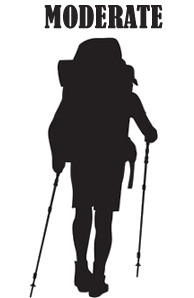
Length: 9 miles total Type: Lollipop Difficulty: Moderate
More information can be found on the CDTC website in the link below!
Directions from Encampment:
1. Follow WY-70 W for 12 miles
2. You will reach a CDT parking lot on the left side of the highway
Description: Named for the beautiful red granite that comprises its rounded summit, Red Mountain is one of the tallest mountains in the Sierra Madre Range. However, it is not often traversed and makes for a great short day hike for hikers seeking solitude, interesting geology, and great views. From the CDT parking lot on WY-70, begin southbound on the CDT. The summit of Red Mountain is less than a mile off-trail from the CDT and can be reached via an unmarked scramble on the gently sloping north face of the mountain. Return by then scrambling back to down to rejoin the CDT, and hiking northbound to the parking lot. Be sure to bring your topographic map, compass, and sense of adventure.
Length: 3 miles total Type: Out and back Difficulty: Moderate
More information can be found on the CDTC website in the link below!
The Photo Contest is now open! Upload your photos of Carbon County, Wyoming for a chance to win up to $150.
Winning and selected entries may be featured in marketing materials to showcase the beauty and uniqueness of Carbon County.
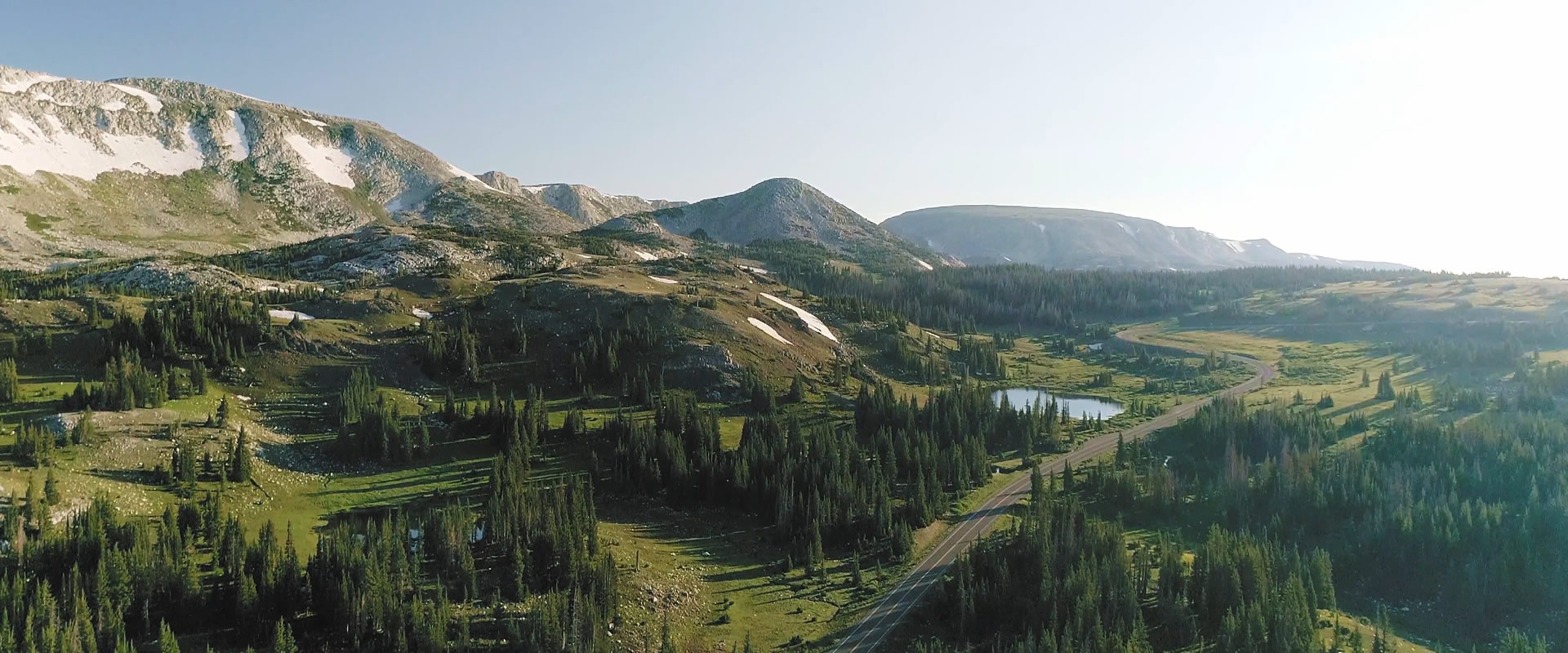
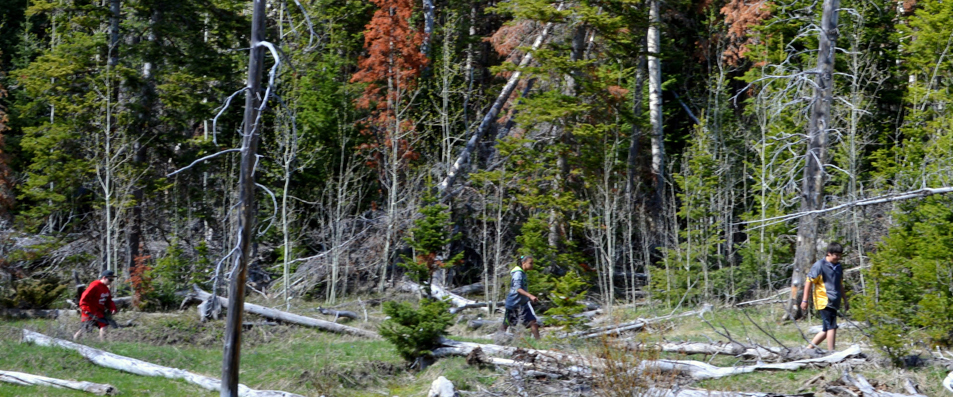
Explore the breathtaking landscapes of Carbon County, Wyoming, where adventure awaits on every trail! From the majestic Medicine Bow Peak to the serene wilderness paths, hiking in this region offers some of the best outdoor experiences in the West. Pack your gear and set out on a journey to discover the natural beauty and diverse wildlife that make Carbon County a hiker's paradise.
Get Started
![]()
![]()

![]()
© Carbon County Visitors Council • All Rights Reserved.